
Lisle ZIP Code Directory
Only 60532 is confirmed here as Lisle's primary postal starting point. Other codes appear as USPS label-list aliases or Census and edge relationships. Those categories are not interchangeable. The ZIP code directory therefore labels the source of each relationship instead of claiming every parcel in a listed code belongs to the Village.
| ZIP Code | Areas Covered | Post Office | Notes |
|---|---|---|---|
| 60532 | Primary Lisle postal relationship | Lisle Post Office, Ogden Avenue | Verify each full address with USPS |
| 60545, 60555 | USPS label-list alias relationship | Not established as separate Lisle stations | Alias data is not Village coverage proof |
| 60540, 60563 | Naperville-area ZCTA edge context | Naperville postal relationship | Census intersection, not postal-city equivalence |
| 60515, 60517 | Downers Grove and Woodridge edge context | Neighboring postal relationship | Exact address controls |
| 60189 | Wheaton South statistical context | Wheaton relationship | Do not assume a Lisle mailing city |
The automated USPS City and State result did not establish a complete list of every delivery code touching the Village. For a parcel-level conclusion, use USPS By Address and compare the returned city and code with the DuPage PIN and mapped boundary.
Lisle 60532 Postal Anchor
The Lisle Post Office at 1111 Burlington Avenue is the practical 60532 reference point. Research captured phone 630-969-0548 and posted retail hours of Monday through Friday 8:00 a.m. to 6:30 p.m., Saturday 8:00 a.m. to 4:30 p.m., and Sunday closed. Confirm current hours before a visit.
The official USPS location page identifies the station.
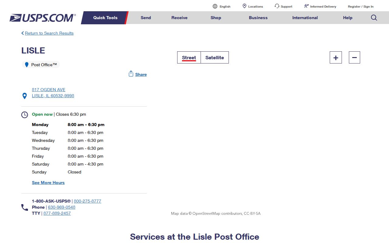
The station confirms the primary postal label, but it does not prove that every Village parcel uses that code.
Lisle ZIP and ZCTA Differences
Census ZIP Code Tabulation Areas are statistical approximations built for data reporting. They can be noncontiguous, contain enclaves, or represent PO-box-only and single-institution patterns. They are not USPS delivery boundaries. Lisle's Census profile relates the Village to 60189, 60515, 60517, 60532, 60540, and 60563, but that relationship does not assign a Lisle postal city to every address.
The Census ZCTA guidance shows why the distinction matters.
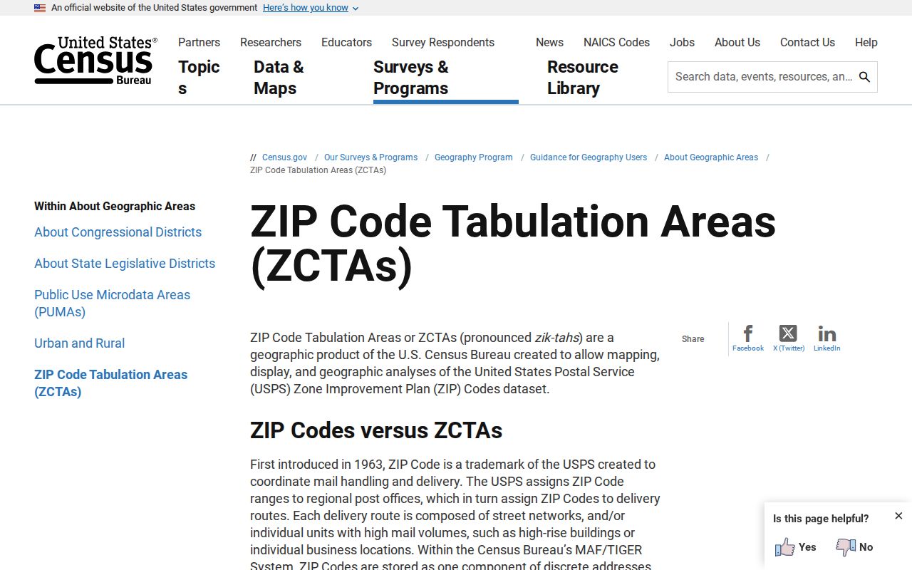
Use ZCTAs for statistics and USPS for delivery, then use parcel boundaries for jurisdiction.
Finding Lisle Records by ZIP
No official portal provides a simple ZIP-wide list of Lisle residents. The useful workflow joins postal verification to a parcel. It keeps mailing city, property city, billing code, and Village status as separate fields.
- Enter the complete street address in USPS By Address and save its returned city and code.
- Search the DuPage assessor or GIS by address and capture the PIN, PROPZIP, property city, and billing code.
- Map the parcel against Village, county, and library-district boundaries.
- Use a bounded parcel export only for geography, not as proof of who lives there.
- For an old address, preserve the old postal label and use its legal description or PIN to bridge eras.
Once the area narrows to a road, use the Lisle street directory for street-level work rather than stretching a postal code past its purpose.
Lisle Parcel ZIP Fields
The DuPage assessor is address and PIN oriented. Its GIS layer exposes PROPZIP and BILLADDRL2, which can show why the parcel location and the tax-bill destination differ. Neither field is a current-occupant statement.
| System | Search Input | ZIP Output | Limit |
|---|---|---|---|
| USPS | Address, city/state, or code | Delivery city and code | Not municipal jurisdiction |
| DuPage assessor | Address, PIN, owner/billing name | Property and billing fields | Ownership is not occupancy |
| DuPage GIS | Parcel or mapped area | PROPZIP and map context | Preserve layer date and disclaimer |
| Recorder | Street, city, four-part PIN | No separate code box | 1995-present online address coverage |
| Voter search | Street syntax and district options | No open code browse | Election-law limits |
The assessor search is useful after postal validation.
This screen is a parcel cross-check, not a resident roll.
Mapping Lisle ZIP Edges
DuPage's advanced parcel map can display several parcels and provide map context at a Village edge. Compare it with the Village street map and the official library-district map, which visibly separates library and Village lines. Ogden Avenue, Main Street, Lincoln Avenue, Route 53, Butterfield Road, 75th Street, Metra, and the tollway are practical orientation points.
The DuPage property map supplies the parcel view.
The map can resolve which parcel is meant while leaving postal delivery to USPS.
Lisle ZIP Access Channels
Use USPS online first, then call or visit the Lisle Post Office. Continue through the DuPage assessor, GIS, and Recorder, then the Village GIS and street map. Census ZCTA data supplies statistical context. Village or County FOIA may help with historical maps or address files, while Lisle Library, IRAD, and Naper Settlement can help with old postal and directory labels.
The Library District's community coverage page adds local boundary context.
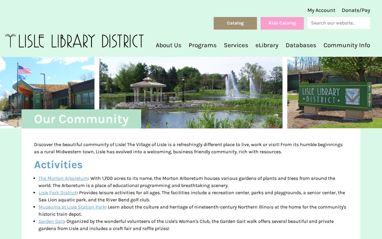
This local layer helps explain why a Lisle community identity can extend beyond one municipal or postal line.
Lisle ZIP Alias Cautions
USPS label-list material associates 60545 and 60555 with the label “LISLE IL 60532.” That wording is an alias or label relationship, not proof that those numbers form broad residential delivery areas inside Lisle. Do not turn either code into a neighborhood list without an exact-address response. A person, business, or older document may use a familiar place name that differs from the current preferred delivery city.
The same care applies to edge codes. The presence of 60540 or 60563 in Census relationship data points toward Naperville-area statistical geography. Codes 60515 and 60517 add Downers Grove and Woodridge context, while 60189 adds Wheaton South context. In each case, retain the source's exact category. “Touches the Village profile,” “appears in an older county table,” and “USPS returns this for the address” are three different claims.
Verification note. Record the complete address, USPS result date, parcel PIN, and mapped jurisdiction before assigning a local label.
Search Lisle ZIP Fields
USPS offers three useful modes, and each answers a different question. By Address is the decisive route for one delivery point. Enter the street number, street name, unit when needed, city, and state. If USPS reports more than one match, add the missing unit or correct the street syntax rather than choosing the first result. By City and State tests postal-city associations. Cities by ZIP reports preferred and acceptable city labels for a supplied code.
| USPS Mode | Supply | Use the Result For |
|---|---|---|
| By Address | Street, unit, city, state | Exact delivery city, five digits, and ZIP+4 |
| By City and State | City and Illinois | Postal codes associated with the city query |
| Cities by ZIP | Five-digit code | Preferred or acceptable city names |
Copy the result exactly, including a unit or multiple-match message. Do not infer Village jurisdiction from the preferred city. USPS maintains delivery data, while Lisle and DuPage maintain government and parcel boundaries. If the online tool fails, call or visit the Lisle Post Office with the full address. For a newly built or changed address, the Village or county may hold an address-assignment file before every public system displays the same value.
Older Lisle Postal Labels
Historical research should preserve the town and route wording printed in the source. Lisle began as a small settlement, and older directories can sort nearby people under a rural section or another place heading. The digitized 1925–26 DuPage directory, for example, includes city listings and a rural section. A person absent from the Lisle pages may still appear elsewhere in the same volume. Search the surname, browse both parts, and note the printed page.
Next, compare the old street or route description with a current DuPage legal description and PIN. Municipal annexation, street changes, and postal practice can shift independently. Newspapers may use a village-center description, a major road such as Ogden Avenue, or a nearby town instead of a modern code. Do not rewrite that evidence to fit today's ZIP code directory. Keep the old wording in the citation, then add a separate modern cross-check.
Lisle Library's maps and Lisle Sun microfilm, Naper Settlement's research material, IRAD holdings, and the DuPage County Historical Museum can help bridge an older label to modern parcel geography. Contact staff when a catalog or scan lacks an address index.
Lisle ZIP Versus Village Limits
A Lisle postal label does not guarantee that a parcel is inside the Village, and an address at the Village edge may carry a neighboring postal city. The library district also includes unincorporated pockets. State clearly whether the task concerns delivery, Village government, a county parcel, library service, or Census statistics. The ZIP code directory is a starting index, not a boundary ruling.
- ZIP and ZIP+4
- The five-digit delivery area and a more specific four-digit delivery segment.
- PO-box ZIP
- A code used for post-office boxes rather than ordinary street delivery.
- Unique ZIP
- A code assigned to one high-volume organization or institution.
- Carrier route
- A set of delivery points served on one postal route.
When fields disagree, preserve each value and cite its source. Do not silently replace a historical label or a billing address with the modern postal result.