
Walk a Lisle Street Record
A useful Lisle street directory search moves from geography to names, then back to original records. The DuPage Property Records Search offers PIN, address, billing-name and map modes. The county parcel viewer adds lot boundaries. Recorded deeds then explain why a name is tied to the land. Voter and historical sources have narrower rules, so they belong later in the chain.
- Confirm the postal form of the address, including direction, suffix and ZIP.
- Find the parcel by address and save its ten-character PIN, situs address and legal-description clues.
- Open the GIS result, inspect neighboring geometry and note any subdivision or road-boundary issue.
- Search the Recorder by address, then PIN and party. Open the actual document image when available.
- Check Village permit events and lawful voter information, then use printed directories for older households.
This order prevents a billing address from being mistaken for the property address. It also preserves the PIN as a stable join when street text varies. For a single named person rather than a whole road, the Lisle resident lookup uses a narrower verification path.
Resolve Lisle Addresses to PINs
DuPage treats the PIN, or parcel identification number, as the key for a tax parcel. The assessor home links separate address, PIN, billing-name and map searches. Address mode finds a parcel from its situs location. Billing-name mode searches the recipient of tax mail, who may be an owner, trust or agent. The county portal was in a maintenance or consent state during research, so exact field order and partial-match behavior should be checked on the live form.
The official assessor address route is the first visual checkpoint for the Lisle street directory.
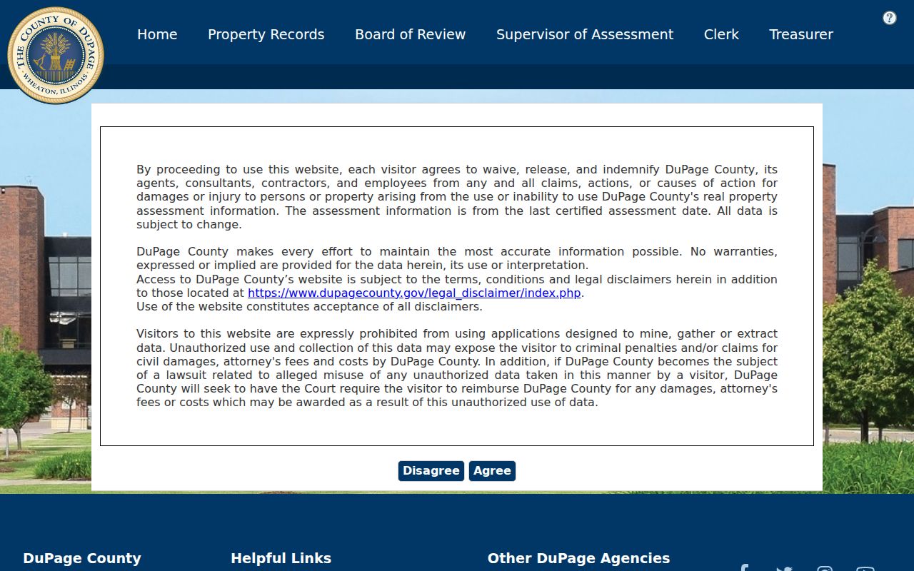
The screen confirms the county source even when a maintenance gate blocks the full form. If the portal will not load, use map mode or contact the county property office rather than treating no result as no parcel.
- Parcel or PIN
- The county identifier for a mapped tax parcel, not a person.
- Situs address
- The physical property address recorded on the assessment card.
- Plat
- A recorded map that defines lots, blocks, streets or a subdivision.
- Billing address
- The destination for tax mail, which may differ from the situs address.
Browse Lisle Parcels by Street
The DuPage Parcel Viewer accepts a PIN or property address in Basic Search. Advanced Search can use a partial property street number or street name, so a full address is not always needed. Results highlight a selected parcel in blue and zoom to it. Shape, subdivision, street-intersection, measure and print tools help test a road segment without claiming the map is an occupancy roll.
| Field or tool | Input | Required | Verified use |
|---|---|---|---|
| PIN | Text without dashes | One route | Open a known parcel |
| Street number | Full or partial | No | Narrow an address |
| Street name | Partial text accepted | No | Browse a named road |
| Results | Selected parcels | No | Download or PDF report |
| Buffer | Distance, default 250 feet | No | Select touching parcels |
| Intersection | One or two roads | No | Locate a street junction |
An insider feature makes the tool valuable for a by-street check: the default 250-foot buffer selects parcels touching its area. The selection can be exported as CSV, PDF, XLS or XLSX, with a documented limit of 1,000 parcels. Keep only the records needed for a lawful task.
The official DuPage parcel data layer exposes PIN, owner alias, situs and billing fields, assessed values and legal-description data.
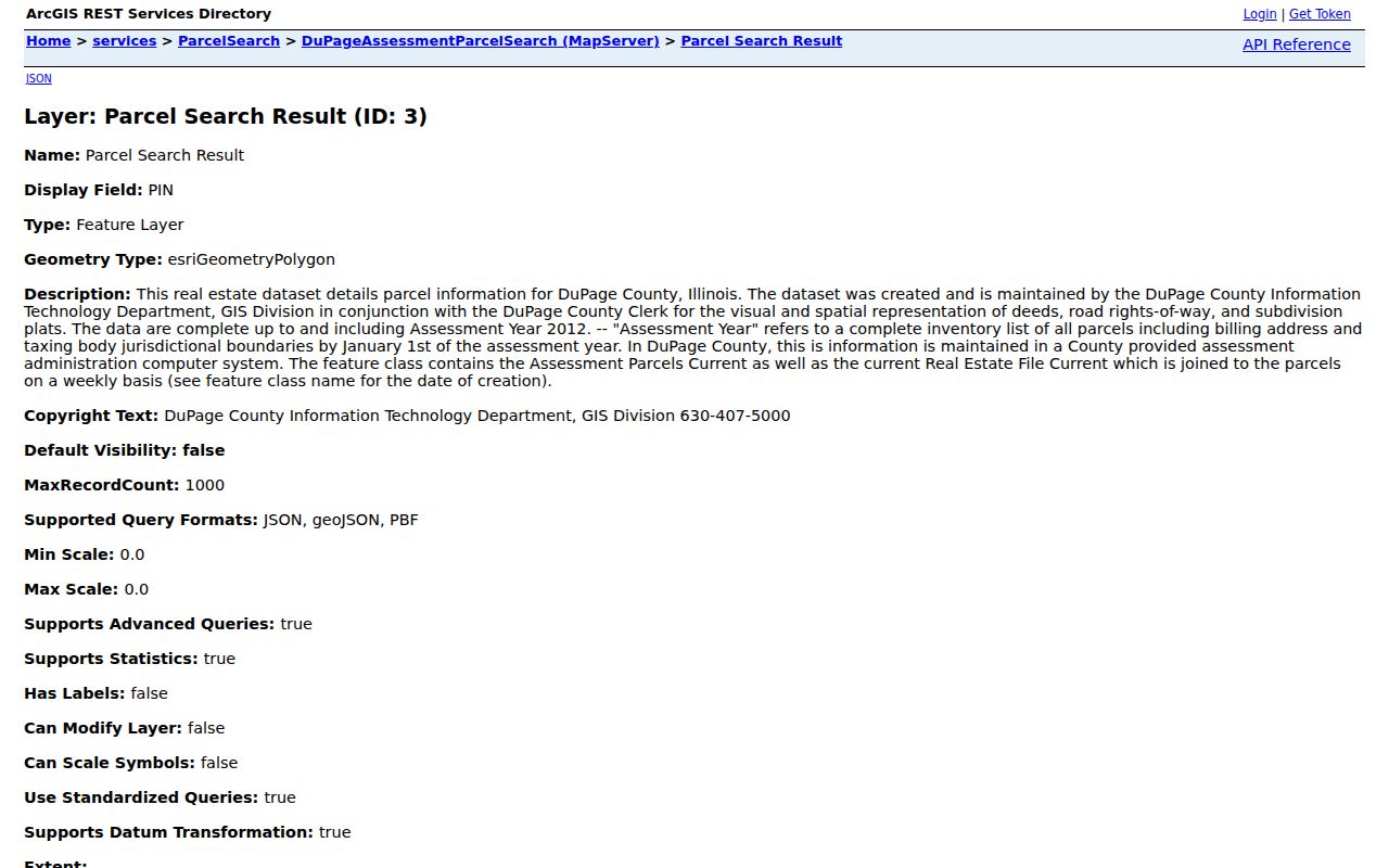
Those fields show why the street directory must keep owner, mailing and physical address labels separate. The GIS layer represents deeds, rights-of-way and plats; it is not a live list of residents.
Lisle Street Grid at the Edges
The Village of Lisle GIS program publishes a local street and address layer alongside county mapping. Its centerline extent runs from Butterfield Road, also Route 56, south to 75th Street and from Woodward Avenue west to Charles Avenue. The Village street map adds Main Street, Ogden Avenue, Lincoln Avenue, Metra and a street index.
This local layer helps with an edge address whose postal city, Village boundary and parcel jurisdiction do not line up. Research found no verified Lisle street-renumbering project, so do not invent one to explain a miss. Test the original spelling, nearby road, postal label and county parcel map. The GIS source image shows where the Village directs users for spatial records.
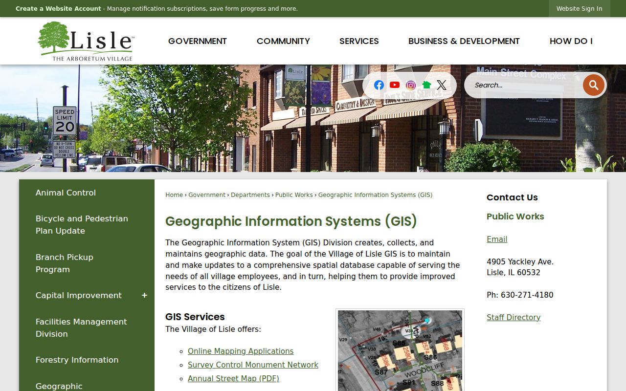
Use the Village layer for road context and the county layer for parcel attributes. The two systems complement each other.
Note: A Lisle mailing label, Village limit, library district and DuPage parcel boundary can overlap without matching exactly.
Follow Lisle Streets Into Deeds
The DuPage Recorder Search accepts party name, property address, PIN, document number, document type and date range. Online name indexes and images begin March 16, 1961. PIN searching reaches 1985, while online address searching reaches 1995. The research office describes property work back to the county's 1839 origin and plats from the 1800s, which makes the Wheaton counter essential for older Lisle streets.
A grantor transfers an interest; a grantee receives it. Search both roles and open the linked image before describing a transaction. Deeds, easements, plats, releases, liens, annexations and vacations can each explain a road or parcel change. None proves that a recorded party occupied the property.
The successful manifest capture shows the official deed-index form and its many record filters.
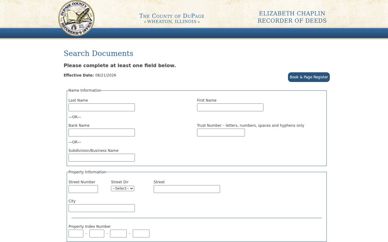
The form's broad document list is a useful reminder to search beyond deeds. Save the document number, type, parties, recording date and PIN context, then request a certified copy when the record must carry official weight.
Lisle Records Keyed by Address
No single Lisle street directory contains every person at every address. Each official layer has a defined keeper and purpose. The strongest result comes from joining records by PIN, date and exact address while retaining what each field actually says.
| Address layer | Keeper | What it can show | Access route |
|---|---|---|---|
| Assessment card | DuPage County | PIN, owner or billing name, tax and sales links | Online, map mode, county contact |
| Parcel GIS | DuPage GIS | Lots, roads, situs, mailing and legal fields | Viewer, REST layer, GIS email |
| Recorded instruments | County Recorder | Parties, deeds, plats, easements and images | Online, terminal, research desk, copies |
| Voter query | Election Division | Registration or district response for supplied data | Online and statutory inspection |
| Permits | Village of Lisle | Event date, type, applicant, address, status and PIN | Reports and FOIA |
| Old directories | Libraries and archives | Printed names and addresses for a stated year | Scan, shelf, microfilm and staff help |
The parcel number is the best bridge between assessor, GIS, deed and permit records. A street name can bridge postal and voter forms, but each system may expect a different suffix or direction. When the task becomes a historical shelf search, use the Lisle city directory collections rather than stretching a current tax card backward.
Lisle Permit Events by Address
The Village Development Projects and Reports page publishes monthly and year-to-date permit reports. Inspected 2025 reports contain record number, type, applicant, address, status, PIN and construction cost. These fields can date a building change, but an applicant may be a contractor or agent rather than an owner or occupant.
The manifest image records the Village route used for this current address-event layer.
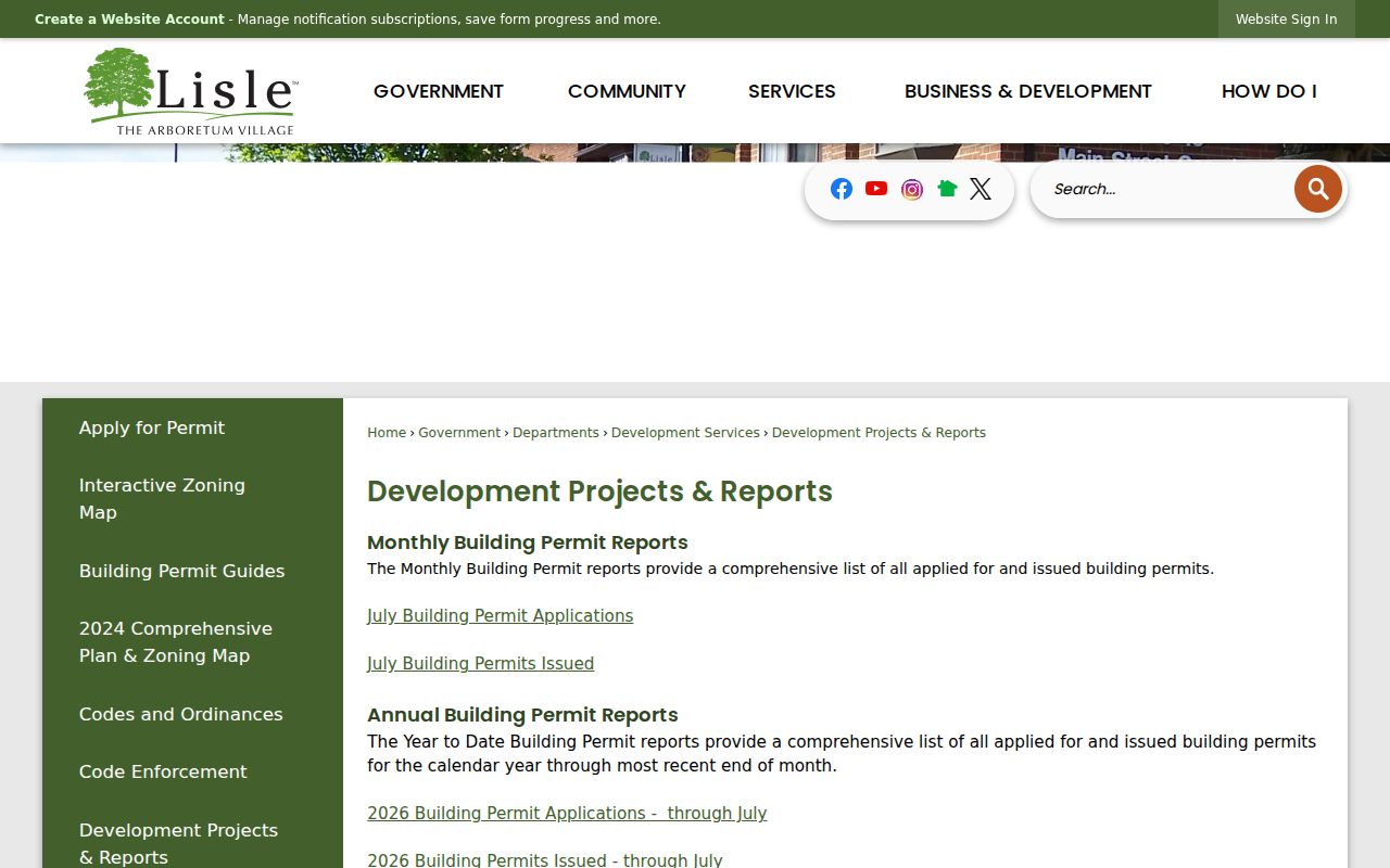
If a needed permit, plan, inspection or zoning file is absent, submit a written request through the Lisle FOIA process. Village meeting records should also be checked because an address-related ordinance may remain with the Recorder until it is returned to Lisle.
Note: Permit status documents an administrative event, not who lived at the address on that date.
Voter Limits on Lisle Streets
The DuPage voter search provides identity and address routes with district or information selectors. Its street form separates house number, street name, direction, suffix and city. Instructions may ask the user to omit direction or suffix from the name field, so keep the full postal address outside the form and follow the portal's syntax inside it.
A voter query is not a free download of all residents. Illinois limits public inspection and electronic voter data by law and use. Registration also does not prove present occupancy. Use the response only for its stated election purpose, and never build a blockwide list from it.
Key distinction. A supplied-address voter response is a narrow registration check, while the assessor and Recorder document parcels and recorded parties.
Older Lisle Streets Need Shelves
Modern address search stops well short of Lisle's full record history. The 1923–24 Naperville, Lisle and Eola directory, the 1924–25 DuPage volume, and the digitized 1925–26 McDonough directory can place a printed name near an old road. The last scan includes residents by city and a rural section, so a Lisle-area household may be filed outside the Lisle heading.
Pair a printed entry with the legal description and plat, then use newspaper microfilm for a dated event. Lisle Library has a selection of Lisle Sun microfilm from the 1940s. Naper Settlement, DuPage County Historical Museum, Newberry Library and IRAD supply further shelf, map, census and land channels. A reverse or criss-cross directory lists addresses in street order, but no continuous Lisle run was verified. Ask staff rather than inventing missing years.
When Lisle Street Search Fails
Online gaps are normal. Call the Recorder research desk at 630-407-5401 or use public terminals at 421 N County Farm Road in Wheaton for older indexed property work. Ask for a certified recorded instrument when needed. County GIS staff can clarify map fields, while Village staff can route permits, zoning, plats and non-indexed municipal files through mail, fax, email or FOIA.
For older households, contact Lisle Library Adult Services, visit Naper Settlement or the DuPage Museum, and consult IRAD series descriptions. This fallback chain matters because the Recorder's web address coverage begins in 1995, much later than its in-office property research. “Not online” does not mean “lost.”
Limits of Lisle Street Records
Property records name owners, tax recipients and recorded parties. They do not reliably name renters, guests or every household member. Current GIS is a map and assessment representation, not a live census. Permit applicants and voter responses also carry their own narrow meanings. Compare dates and source labels before reporting any connection.
Postal data can validate delivery format but cannot confirm a person. Historical directories freeze one printed moment and may omit unlisted people, rural households or misspelled names. Address Confidentiality Program participants may use a substitute address in newer state and local public records, while older records and property records are not automatically erased.
Lawful use. Use Lisle address records for personal research, genealogy, property history and civic review. Never use them to stalk, harass, intimidate or harm anyone.