
Lisle Neighbor Records Compared
Different sources describe different parts of a block. Current county tools show parcels and owners; recorded plats explain legal edges; local files show public events; historical collections supply older context. None is a complete household directory.
| Source | What It Shows About a Block | Access |
|---|---|---|
| DuPage Parcel Viewer | Contiguous parcels, roads, geometry, and owner aliases | Free online viewer and GIS schema |
| Property Records Search | Owner or billing name, address, PIN, tax and sales context | Online modes, county support |
| Recorder plats and easements | Subdivision, roads, shared access, and legal boundaries | Online index, Wheaton terminals, research desk |
| DuPage voter search | Registration or district result for a supplied address | Official lookup under election-law limits |
| Village permits and meetings | Applicants, projects, hearings, and public address events | Published files or Lisle FOIA |
| Community organizations | Public group contacts and civic resources | Official contact pages, not member scraping |
| Directories and newspapers | Past occupants and neighborhood events by year | Library, museum, and archives |
An owner alias is not the same as an occupant. A trust, company, agent, or off-site owner may receive the bill. Use careful labels such as “owner named on the current card.”
Map Lisle Neighbors by Parcel
The DuPage Parcel Viewer can move outward from one address without searching a whole named street. Its Basic Search accepts a PIN without dashes or an address. Advanced Search accepts a partial property street number or name.
- Find the subject address and confirm its PIN and situs address.
- Open Results and select the subject parcel, which turns blue.
- Use Buffer from Parcel Search Results; the default is 250 feet.
- Inspect only parcels touching that buffer and save needed fields.
- Verify any owner alias in the live assessor or Recorder source.
The viewer can download selected data and create a PDF report. Shape work is capped at 1,000 parcels, and a URL can carry up to 100 comma-separated PINs. Those controls support a bounded, repeatable block search.
Practical tip. Clear Buffer removes the graphic, but selected results remain until the Results tab is cleared.
Read Lisle Block Fields Carefully
The official DuPage GIS parcel layer exposes PIN, owner alias, property street fields, city and ZIP, classification, legal description, billing address, values, and geometry. It is a map and assessment representation built from deed, right-of-way, and subdivision information. It is not a live resident roll.
- PIN
- The ten-character parcel identifier used to connect county systems.
- Situs address
- The physical property location shown in the parcel data.
- Billing address
- Where a tax statement goes, which may not be the parcel.
- Geometry
- The mapped shape used to represent parcel boundaries.
When the owner and billing address match the site, that still suggests rather than proves occupancy. Do not add unnamed family members, renters, or visitors from inference.
Lisle Neighborhood Sales Add Context
The DuPage Property Records Search offers address, PIN, billing-name, and map modes. A public parcel card may include Neighborhood Search, Neighborhood Sales, and linked sale details such as sale date, price, document type, document number, seller, and buyer.
Use these fields to understand when nearby property changed hands, then open the recorded instrument when the transfer matters. Sale data does not identify every person who lived there. It also does not establish a personal connection between adjacent owners.
Note: County portal maintenance may hide controls temporarily, so retain the PIN and use county support or the Recorder as fallback.
Lisle Plats Define the Block
Physical closeness and legal adjacency are not always the same. A road, easement, common tract, or subdivision line may divide parcels that look near each other on a screen. Search the DuPage Recorder index for plats, easements, annexation or vacation documents, and subdivision names.
Online name and image coverage begins March 16, 1961, PIN searching in 1985, and address searching in 1995. Older items may require the Recorder’s Wheaton terminals, 630-407-5401 research line, or a certified-copy request. The full named-street chain belongs on the Lisle street directory page; keep this search to the immediate block.
Lisle Voters Are Not a Block List
The DuPage voter lookup supports identity and address routes plus district or information selectors. Its address fields include house number, street name, direction, suffix, and city. Use it for a supplied address or an election question, not to make a blockwide download.
Illinois Election Code controls public inspection and restricts electronic voter information and prohibited uses. A voter result also reflects registration, not a guarantee that someone currently occupies a property. The correct fallback is the DuPage Election Division at 421 N County Farm Road, Room 1-600, Wheaton, or 630-407-5600.
Lisle Block Events in Public Files
Village permit reports can include issued or submitted dates, record number, type, applicant, address, status, PIN, and construction cost. These are event facts. They do not make an applicant a current neighbor. Zoning files, meeting materials, and plats may explain a public change affecting several nearby parcels.
The Lisle meeting archive is a strong first stop for agendas, minutes, and approved documents.
See Lisle meetings and approved documents.
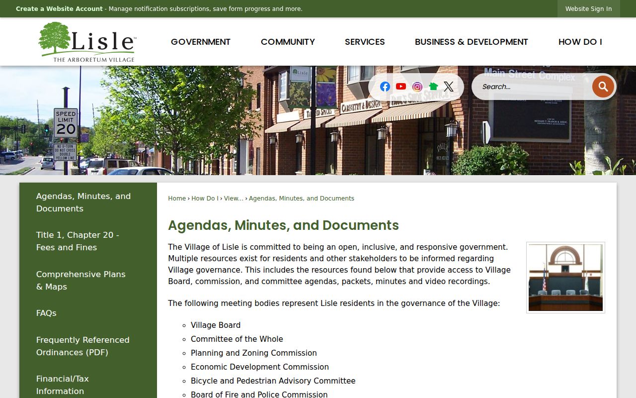
The archive adds dates and official context. If a needed plan or inspection is absent, submit a written Lisle FOIA request with the address, PIN, date range, and record type.
Lisle Boundaries Shift the Meaning
The Lisle Library District covers most of the Village plus unincorporated Four Lakes, Woodridge Estates, The Meadows, and parts of unincorporated Naperville including Steeple Run. A Lisle mailing label, village line, library district, township, ZIP, and parcel boundary can therefore describe different areas.
This geography is an important check before calling a group of parcels a Lisle neighborhood. Use the Village and county maps for the legal unit, USPS for mailing identity, and the Library’s community materials for service-area context.
Note: Ask whether “Lisle” means Village limits, postal city, library district, township, or a DuPage parcel set before counting nearby records.
Verified Lisle Community Contacts
No official public HOA membership directory or umbrella registry was verified. The safe community layer consists of public organizational contacts. The Village and Library name groups such as Lisle Heritage Society, Lisle Woman’s Club, Lions, Rotary, Kiwanis, the Chamber, and other service organizations. Their pages establish a contact or mission, not a household roster.
Village Departments
The official staff and department directory routes questions to the right public office.
Lisle Library Community
The community page identifies civic resources and local service-area context.
Lisle Area Chamber
The Chamber’s community profile and member directory concern organizations and businesses, not residents.
View Lisle’s staff and department directory.
This route helps identify a custodian without exposing private member or household information.
Lisle Licenses Mark Public Activity
A business or occupancy license can explain public activity at an address, but it does not name every person nearby. Lisle’s official license material is useful for distinguishing a commercial address from a household address and routing questions to the Village.
Review Lisle business-license information.
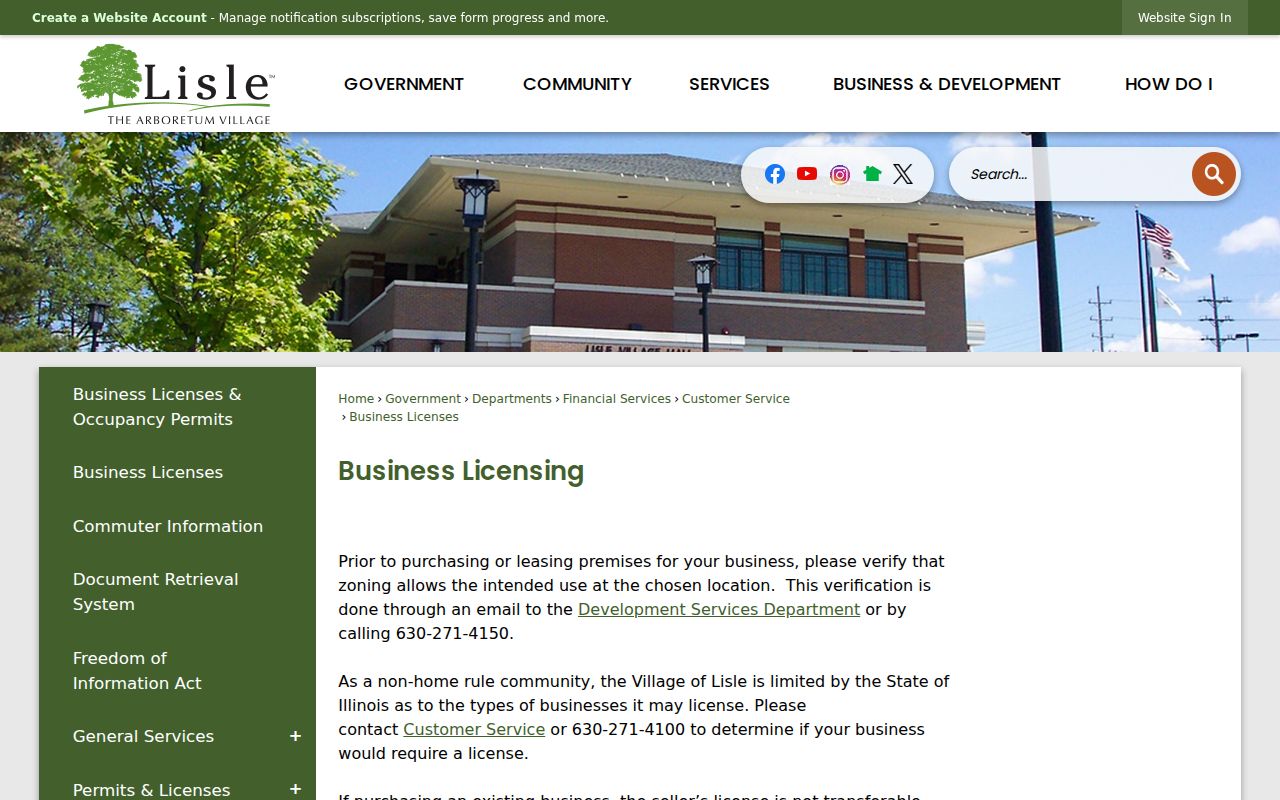
The source provides municipal context only. Confirm the legal entity separately and never treat a license contact as proof of residence.
Official Lisle Records Beat Guesswork
Commercial neighbor tools may merge old public records, inferred relatives, and stale addresses. Official rolls are narrower, but each has a custodian, purpose, and date that can be checked.
| Question | Official Record | Commercial Category |
|---|---|---|
| Which parcels touch? | County GIS geometry | May use unclear map sources |
| Who owns a parcel? | Assessor and recorded deed | May repeat an old owner |
| What public event occurred? | Permit, hearing, or recorded document | May omit the source date |
| Who occupies the home? | No single official block roll | May infer or combine stale data |
Use the source that answers the exact question and state its limit. Do not fill a missing fact with an assumption.
Protect Privacy of Lisle Neighbors
Illinois FOIA can require redaction of Social Security numbers, financial or medical data, and other private information. The Illinois Attorney General’s Address Confidentiality Program supplies a substitute address for qualifying victims in new public records. It does not erase old records or automatically hide property records.
Do not republish account numbers or protected data from an image. Avoid naming a person as an occupant unless a suitable dated record supports that exact statement.
Lawful use. Explore a block for civic curiosity, reconnection, or personal safety. Never use neighbor records to watch, intimidate, stalk, harass, or harm anyone.